Surveying and mapping professionals face complex challenges every day — from unpredictable terrain to harsh environments. GEOFUSION delivers durable, accurate, and easy-to-use tools to help surveyors work smarter. Here are five real-world ways GEOFUSION products are transforming fieldwork.
1. Topographic Surveys
GEOFUSION GNSS receivers help surveyors create accurate topographic maps, even in remote areas. The lightweight design and long battery life make fieldwork more efficient.
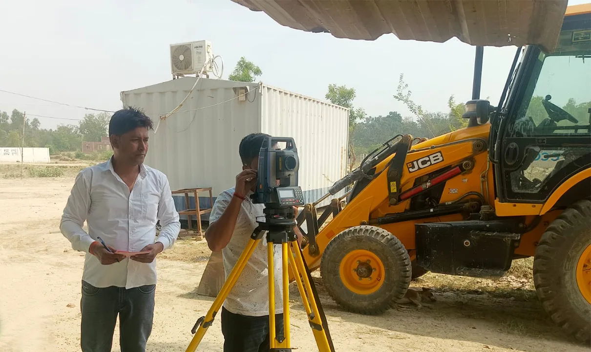
2. Construction Layout and Planning
Our systems integrate seamlessly with construction software to help engineers lay out building sites with minimal errors.
3. Mining and Quarry Mapping
In the mining industry, our rugged GNSS solutions provide real-time mapping of pits and high-risk zones, improving both safety and planning.
4. Land Parceling and Legal Boundary Surveys
Precision is critical for legal documentation and land demarcation. GEOFUSION tools ensure centimeter-level accuracy for property line surveys.
5. Infrastructure Development Projects
Roads, bridges, and urban projects rely on accurate mapping for long-term planning. GEOFUSION equipment supports scalable solutions for large public infrastructure initiatives.
Conclusion:
No matter the surveying challenge, GEOFUSION provides the tools and technology to get the job done right. With a presence in over 81 countries, we’re proud to be a trusted name in global mapping solutions.