In today’s fast-moving industrial world, accuracy is everything. Whether it’s surveying a new site, mapping terrains, or guiding autonomous machines, the need for precise location data is critical. This is where GNSS technology comes into play. In this blog, we’ll explore what GNSS is, how it works, and how GEOFUSION’s GNSS solutions are revolutionizing precision across multiple industries.
What is GNSS?
GNSS stands for Global Navigation Satellite System — a constellation of satellites that provide global positioning data. Unlike GPS, which is a system specific to the U.S., GNSS includes multiple satellite systems like:
- GPS (USA)
- GLONASS (Russia)
- Galileo (EU)
- BeiDou (China)
Combining data from multiple satellite systems improves accuracy, stability, and coverage, especially in challenging terrains.
Why GNSS Matters in Precision Work
GNSS plays a crucial role in:
- Surveying and Mapping – For high-accuracy data collection.
- Agriculture – Guiding tractors and optimizing resource usage.
- Construction – Automation of heavy machinery and site layout.
- Unmanned Vehicles – Precise navigation and path correction.
- Monitoring & Inspection – Real-time deformation or structural analysis.
GEOFUSION’s Role in GNSS Innovation
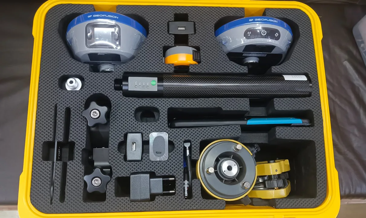
GEOFUSION’s precision GNSS equipment is built for portability, rugged use, and industry-grade accuracy. Our devices provide real-time kinematic (RTK) corrections, making sure professionals always get the most precise data possible.
Conclusion:
GNSS is no longer just a navigation tool — it’s a core part of how industries work. With GEOFUSION, you’re investing in cutting-edge GNSS technology that powers productivity, precision, and performance across the globe.