At GeoFusion, our mission is to empower professionals across surveying, mapping, and GIS industries with cutting-edge geospatial technology. As part of this ongoing commitment, we are proud to have successfully distributed high-performance GNSS (Global Navigation Satellite System) kits to our valued customers and field teams.
This marks an important milestone in supporting real-world applications that rely on accurate and dependable positioning.
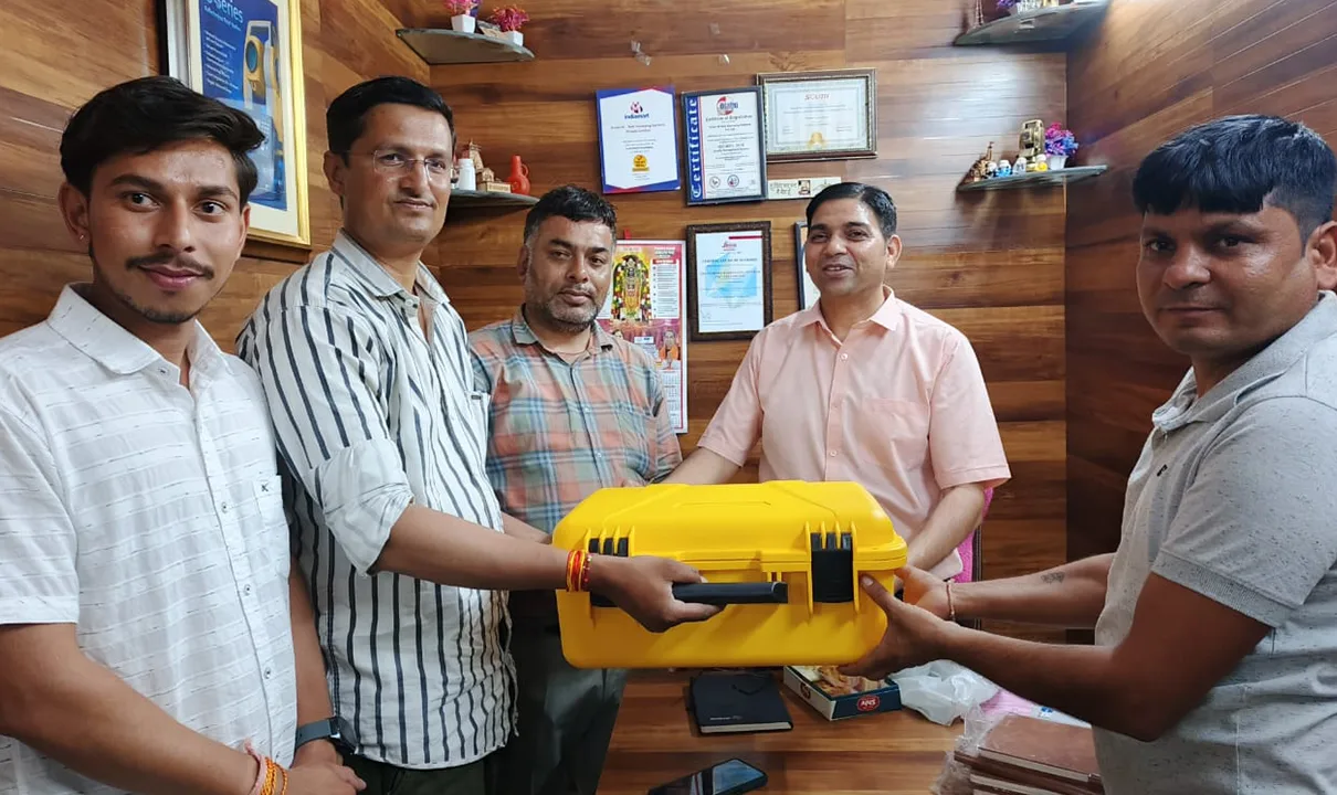
Purpose-Driven Distribution
The GNSS kits provided by GeoFusion are designed to deliver exceptional accuracy and reliability in the field. These kits are not just tools—they are complete solutions that help our clients enhance efficiency, precision, and productivity in a wide range of geospatial applications.
This distribution reflects our belief in hands-on service, customer support, and long-term partnerships.
What’s Included in the GNSS Kit?
Each rugged yellow case contains the full setup needed for advanced field surveying:
- High-precision GNSS receiver (multi-band, RTK-capable)
- External antenna with mounting accessories
- Rugged field tablet or controller with pre-installed GIS/surveying software
- Rechargeable battery packs and universal chargers
- Quick-start user guide and documentation
Every kit is thoroughly tested and pre-configured for immediate deployment.
Ready for the Field
The GNSS kits are engineered to perform under a wide range of environmental conditions. Key features include:
- Real-time positioning accuracy using RTK and PPK methods
- Reliable satellite tracking in remote and obstructed areas
- Wireless connectivity for seamless data transfer and monitoring
- Long battery life for extended field operations
- Smooth integration with GeoFusion’s visualization and analysis platforms
Customer Engagement and Onboarding
During the distribution event, our team personally handed over GNSS kits to customers and provided:
- Live demonstrations of device setup and usage
- Answers to technical and workflow-related questions
- Initial configuration support for immediate functionality
- Overview of data integration with GeoFusion systems
These direct interactions helped strengthen our partnerships and ensured successful onboarding.
Real-World Applications
Our customers will be deploying these GNSS kits in a wide range of geospatial and field-based projects, including:
- Infrastructure development and construction site surveys
- Precision agriculture and land parcel mapping
- Urban planning and smart city asset mapping
- Environmental impact assessments and terrain analysis
- Geological and topographic data collection
Each kit delivered brings the power of accurate data into the hands of professionals who are building tomorrow’s solutions.
Continued Support from GeoFusion
Beyond the equipment itself, every GeoFusion client receives comprehensive support, including:
- Technical training and remote assistance
- Regular firmware and software updates
- Data integration support with GeoFusion platforms
- Workflow optimization and consultation services
We are committed to equipping our clients not just with technology, but with the confidence and knowledge to maximize its impact.
Looking Ahead
With every GNSS kit delivered, we move closer to building a smarter, more connected geospatial future. At GeoFusion, we are proud to stand alongside our customers as they lead projects that rely on precision, accuracy, and innovation.
If you are exploring GNSS-based solutions for your business or operations, our team is ready to provide guidance, customization, and full deployment support.